Showing posts with label family hike. Show all posts

Saturday, March 27, 2021

Hiking at Cane Creek Mountains Natural Area, Snow Camp NC


  • Dates Hiked: Multiple dates in January and February 2021
  • Trail type: hiking trail
  • Official length: 3.1 miles
  • Total miles tracked:  3.1 miles
  • Best Features: A taste of the Appalachians, or at least the Uwharries, east of Greensboro. 
  • Worst Features:  Nothing, really. 
  • Wildlife spotted: None! It looks like it should be teeming with deer, but, so far, zilch.  
  • Vegetation: Mostly hardwoods, and a meadow full of tall grasses and wildflowers. 
  • Associated Websites: Cane Creek Mountains Natural Area – Alamance Parks (alamance-nc.com)
  • Primary Author: James
Civilization grows more distant with each step. 

Alert readers might have noticed a rather long gap between our last posts in December and the resumption of posts in March. Most years, Cheryl and I get outdoors even during the coldest months, but I entered the new year in a hospital emergency room with chest pains. My gallbladder had given me 50+ years of reliable service, but now it had decided to part ways with the rest of my body. Some people recover from gallbladder removal quickly, but it took me well over a month to get back even a fraction of my stamina. I didn't get much of a chance to go out and explore new trails during this time. I did, however, have time to obsessively Google trails in our area we'd never explored, and happened to find out about the Cane Creek Mountains Natural Area. The website said it was the tallest mountain in North Carolina east of Greensboro, so I was eager to explore a mountain hike only a half hour from my doorstep. 


From the second Cheryl and I set out from the parking lot, Cane Creek Mountain became one of our favorite local hikes. To start with, the parking area itself is very welcoming, with a bathroom, picnic tables, and informative signage. Unlike its most comparable local hike, Occoneechee Mountain in Hillsborough, this is located in a rural area instead of right next to an interstate, so there's almost no traffic noise, nor do you walk under power lines or in the shadow of radio towers. 

I do feel like the signage might overpromise the odds of seeing foxes on the hike.

You start the hike through a grassy meadow. We hiked in winter when everything was brown and dry, but I imagine that in the next few weeks and all through the warmer months this will be a great location for wildflowers. It's also nice to have a little open sky as you approach the mountain, letting you see the climb ahead of you before you plunge into a tunnel of trees. 


The trail itself is two loops. The shortest loop is only a mile, and the longer loop a little over two, and if you do them both as a figure 8, you'll travel just over three miles. The website says that more trails are under development, but for someone recovering from surgery, three miles turns out to be a pretty challenging length. 


Once you're under the trees, the trail becomes increasingly rocky and steep. I wouldn't describe the hike as strenuous, but if you veer to the right going up the mountain, you get a very good workout climbing up stony ground. There are boulders along the path just begging for people to climb on them and pose dramatically for a photo. 

Okay, maybe a little strenuous.


If you can walk past these boulders without the urge to pose atop them, you're dead inside.

The lower slopes have plainly been logged in not too distant decades, leaving thin, young trees, but as you near the top of the ridge you're surrounded by tall, twisted giants spared from logging by the rugged terrain. Alas, to be so high up, there's not much of a view of the surrounding countryside. The trees are fairly dense and there are no overlooks. 

This looks like the sort of landscape the heroes are trudging through just before the orcs attack.


The left side of the mountain is less rocky and takes you along and over a creek in places. Before long, you're back in the meadow. For experienced hikers, Cane Creek might be a little too short and tame, but, if you are in the Burlington area, looking for a hike that provides a mountain experience without actually having to drive to the mountains, this is an excellent option. We're looking forward to seeing future trails developed on the property. 


Sunday, June 14, 2020

Hike in Uhwarrie Forrest - Jumping off Rock trailhead


  • Date Hiked: April 18, 2020
  • Posted length: 20 miles
  • Total miles Tracked: 5.9 miles
  • Type of Trail: Single track trail (moderate)
  • Conveniences: Parking lot
  • Best Features:  For us, this trail is close to where James' sisters live and we enjoy hiking with them.  The trail itself offers varied terrain and it's really beautiful in the Uhwarrie
  • Worst Features:  Jumping off Rock is not on the trail. No bathrooms or water.  
  • Wildlife spotted: Anole
  • Vegetation: Hardwood forest, Mountain Laurel, mosses and fungi
  • Associated Website: https://www.fs.usda.gov/recarea/nfsnc/recreation/hiking/recarea/?recid=49832&actid=50
  • Primary Author: Cheryl


In April, James and I joined his sister Joy and Gina for a hike in the Uhwarrie Forrest in Troy, NC.  We went to the Jumping off Rock Trail head and tackled a section of the Uhwarrie National Recreational Trail.  The main trail itself is 20 miles long, but we chose to park at one of the three trail heads shown on the official website and see how much we could hike in the time we had allowed that afternoon.


There is a really nice parking lot at the Trail end off of Flint Hill Road, more commonly known as the Jumping Off Rock trail head.  We parked and headed over to the posted map at the kiosk.  No real paper maps or downloadable maps seem to be available, so we snapped a photo of the map then proceeded to the trail.  The first section is a very steep climb and is also very rocky.  You quickly climb up 400 feet within the first mile. The trail was lined with Mountain Laurel just beginning to bloom along with every type of moss that grows.


The section we hiked then reaches it highest point and there is a large outcropping of rocks.  We stopped here for a break before heading on along the ridge.  We continued until we reached the crossing of Tower Road before we turned around.  We'd have to come back another day to continue exploring the trail.


There are several campsites with fire rings.
But where was the Jumping off Rock?  Interestingly, it's not on the trail at all.


After we returned to the parking lot, we found out that the rock that the trail head is named for is actually about a quarter mile up Flint Hill Road.  We headed up the hill walking on the road, crossed two bridges and came to rocks that overlooks Barnes Creek.  There are maybe two parking spaces off the side of the road at this outcrop of rocks.  The upper section is covered with graffiti, and there is a trail that takes you down to the creek on one side.  On the other side of the plateau, you can scramble down to the actual "Jumping Off Rock."  Despite the name, jumping off Jumping Off Rock would be a very bad idea.  The creek that is far below is shallow and full of.... you guessed it, ROCKS!

The section of the Recreational Trail we tackled was very pretty, and we look forward to trekking more of it. 


Friday, May 8, 2020

Hike at Duke Forest along New Hope Creek

  • Date Hiked: April 11, 2020
  • Total miles Tracked: 5.9 miles
  • Type of Trail: single track foot trails, gravel roads
  • Conveniences: None.
  • Best Features: The scenery!
  • Worst Features:  Lack of parking at gate entrances
  • Wildlife spotted: Nothing this trip, but deer aren't uncommon. 
  • Vegetation: Pine and hardwood forests, innumerable wildflowers
  • Associated Website: https://dukeforest.duke.edu/
  • Primary Author: James

With most state parks and many local trails shut down, a great deal of our hiking this spring has been focused in Duke Forest. This outdoor laboratory is owned by Duke University and consists of several divisions in Durham and Orange counties. There are numerous gates leading into the various forest segments and they can be tricky to locate. You won't find the brown feature signs that normally point you toward federal, state, or local parks, and most of the trails don't show up on Google maps, though some do. Some of the trails are gravel roads okay for mountain biking, though most are fairly short and not particularly challenging. Also know that if you want to hike in Duke Forest, none have bathrooms or water, and none that I can think of have picnic tables or shelters. With few exceptions, the gates don't have parking lots, which means you're frequently having to park on the narrow shoulder next to the road, and the driver is opening their door into traffic and the passenger is stepping out into weeds.

Some of these weeds might have butterflies on them!
That seems like a big list of reasons not to hike Duke Forest, but these are offset by excellent reasons to do so. 1. As noted, they stayed open when some other trails were closed. 2. The lack of parking means that some of them are very lightly trafficked. Cheryl and I have made several after work hikes where we trek two or three miles without seeing anyone. 3. Some of these trails are spectacular! A lot of them are just long walks through woods, which isn't a bad thing, but the New Hope Creek Hike we're talk about today has scenery that rivals hikes you might make in the mountains. 


New Hope Creek winds through the middle of the Korstian Division of Duke Forest. It's possible to hike almost six miles along the creek, and well worth the journey. We met up with my sisters Joy Coggins and Gina Roberson at the Hollow Rock Nature Preserve, after leaving another car on the side of the road on Mt. Sinai Road near Concrete Bridge Road. (There is a lot here, but it's very small.) Hollow Rock Nature Preserve has hiking trails of its own and a pretty decent sized parking lot. As a bonus, there's a bathroom. There's a Duke Forest Gate just across the road, but signs warn you not to cross the road. Instead, you hike down to New Hope Creek, then follow it under the bridge into Duke Forest. When you enter the forest this way, the thing you'll immediately discover is a very large old dam. It's a cool feature to kick off the hike, and won't be the last thing you run across to remind you of the historical significance of the creek.

Dam!

As you start the hike, you'll be on the north side of the creek, and a good bit of the south side will be low cliff faces. The water on the day we walked was extremely clear. For the first mile or so of the hike you catch glimpses of houses across the creek, but soon you reach a turn that will take you far from most reminders of civilization for at least a few miles.

If it were warmer, this is very inviting water to wade around in. 

Most of the walk is flat, but a few miles in things start getting rocky. There's a creek you'll need to cross. There's no bridge, but it's not very deep or wide. After you pass the creek, you're heading for Piney Mountain. This is going to be the most challenging part of the hike. If you want, you can go up and over Piney Mountain, then back down to the creek. If you choose to stay at creek level, you'll be walking along some wonderful rock formations, but depending on the water level, the trail can provide some challenges. There are places where the cliff juts out and forces you to grope around blindly for footholds and handholds to edge around it. I imagine that, in dry spells, you could just rock hop out into the creek. On the other hand, if the creek had been six inches higher, I don't see how you'd make it on this trail without getting your feet wet.

You might get your feet wet even if it hasn't been raining. 

By the end of the day, we were thinking of this section as "the easy part." 

Once you're past Piney Mountain, things stay fairly rocky. It's level, but you need to watch where you're putting your feet. You'll hit a few more tight spots that require scrambling over and around large rocks, and pass by dozens of impressive cascades and rapids.

Great scenery, but you'll mainly be watching your feet. 
You'll know you're about to reach Concrete Bridge Road when the tallest cliff you've yet seen on the opposite side comes into view. After that, it's just a few hundred more feet to reach the eponymous bridge. It's not much to look at, but there is a swimming hole off of it. Since we were there in April, there was no way we were going into the icy water, but there were people braving the waters and it looked like a nice spot. From Concrete Bridge Road, you can either head up the road to exit the park, or press on down the creek. Maybe a half mile from the bridge you'll hit another crazy cliff. We couldn't make it around this one at creek level, but there's a path where people climb over the obstacle. It's pretty steep, but not a particularly long detour. After that, you can hike to Wooden Bridge Road along the creek, then follow that back to Concrete Bridge Road. Alas, due to poor trail markings, we accidentally wound up on the Big Bend Foot Trail, which also takes you back to Concrete Bridge Road. We missed maybe a remaining mile of the creek side trail. 


All in all, if you can leave a car at both gates, it's a good through hike of nearly six miles, a decent length for this area. It's rugged, but I wouldn't describe it as strenuous. A good hiking stick will help immensely. And, this is definitely a dry weather hike. Large sections of the rocky path next to the creek are plainly just part of the creek bed when the water is high, to you might want to steer clear if it's been raining. But, if the weather's good, bring your camera. There's wildflowers everywhere, and the scenery is amazing. 


Sunday, April 26, 2020

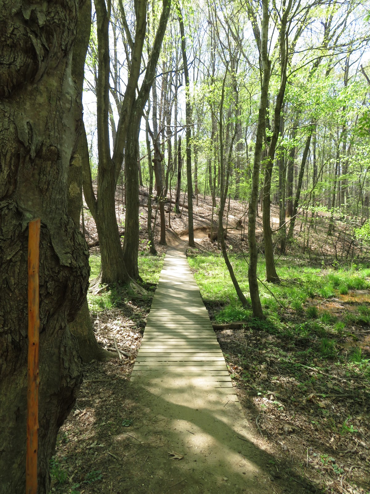
Hike at Owl's Roost trail/Bur-Mil Park


On a warm Sunday, we met James' sisters Joy and Gina, brother-in-law Joe, and their friend Tracey for a hike on the Owl's Roost Trail.  The trail itself borders a peninsula along Lake Brandt in Greensboro and is off the Atlantic-Yadkin Greenway.  We all met up at Bur-Mil Park and solidified our hiking plan.  If it weren't for all the closures due to the Covid-19 Pandemic, Bur-Mil Park would have provided bathrooms along with a pretty awesome Wildlife center.  Maps were also not available, so we made-do with a snap shot of the map on the door to the wildlife center.   


We headed out from next to the wildlife center to the Atlantic-Yadkin Greenway, a paved, multi-use trail.  Tons of people were out walking, running and riding on this sunny Sunday in early April.  We walked about a mile and a half down the A-Y Greenway, before dropping down into the woods to The Owl's Roost Trail.


This trail is a multi-use Mountain biking (ranked difficult) and hiking trail.  We had six in our group, so we were able to call out to each other when bikers approached so we could step off the trail.  Almost all the bikers we encountered were courteous and also called out to us - but there's always a few that feel like they own the trail.


The ferns were starting to unfurl with their fiddleheads, the dogwoods and redbud were flowering, and other wildflowers were also beginning to bloom.  


Midway along the trail they had a mail box where you could leave a note, much like the Kindred Spirit mailbox at Sunset Beach. 


The trail winds around the peninsula overlooking Lake Brandt.  We all talked about when we'd come back to the park to explore by kayak.  


Gina took this pic of Joy and Cheryl keeping 6 feet apart! 


This is a very popular trail, so if you're looking to get away from other people, you might have better options. But, if you're looking for an easily accessible trail in the Triad that provides varied terrain, a good loop length, and a nice workout you'd have a difficult time picking a better destination.