- Dates Hiked: Multiple dates in January and February 2021
- Trail type: hiking trail
- Official length: 3.1 miles
- Total miles tracked: 3.1 miles
- Best Features: A taste of the Appalachians, or at least the Uwharries, east of Greensboro.
- Worst Features: Nothing, really.
- Wildlife spotted: None! It looks like it should be teeming with deer, but, so far, zilch.
- Vegetation: Mostly hardwoods, and a meadow full of tall grasses and wildflowers.
- Associated Websites: Cane Creek Mountains Natural Area – Alamance Parks (alamance-nc.com)
- Primary Author: James
 |
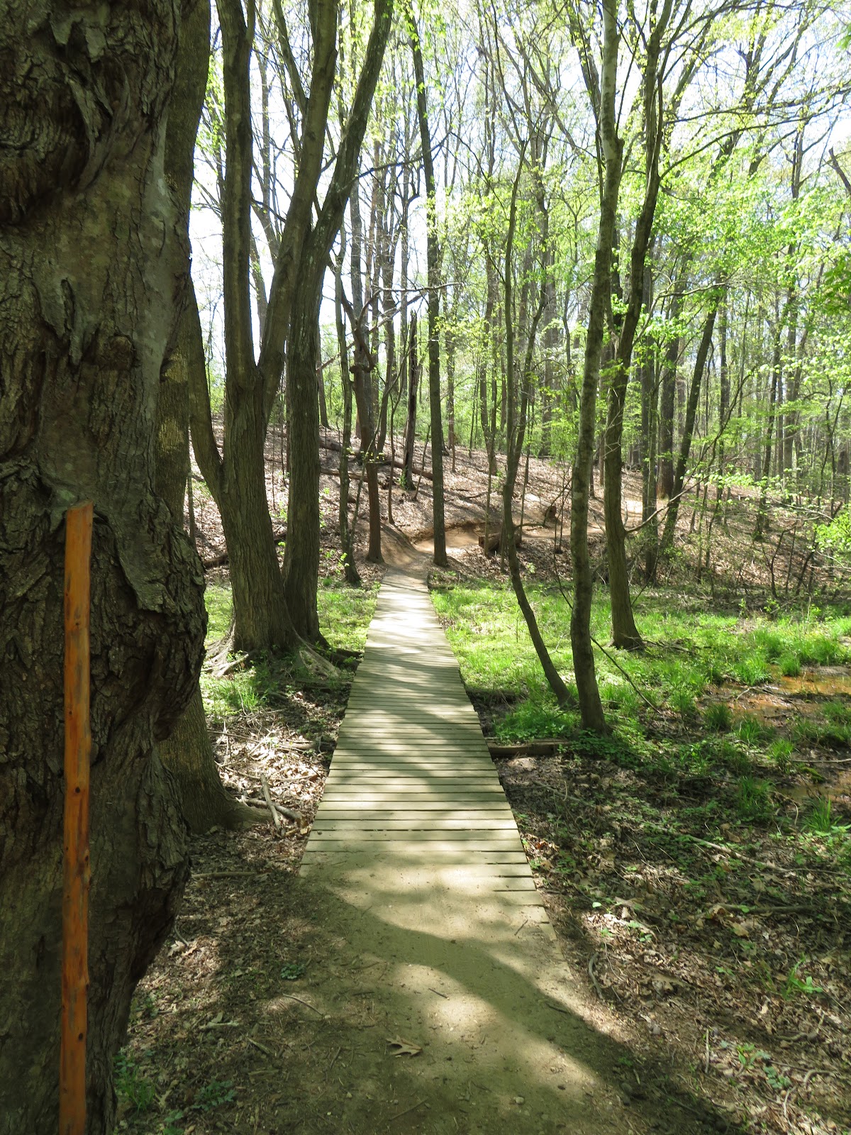
| Civilization grows more distant with each step. |
Alert readers might have noticed a rather long gap between our last posts in December and the resumption of posts in March. Most years, Cheryl and I get outdoors even during the coldest months, but I entered the new year in a hospital emergency room with chest pains. My gallbladder had given me 50+ years of reliable service, but now it had decided to part ways with the rest of my body. Some people recover from gallbladder removal quickly, but it took me well over a month to get back even a fraction of my stamina. I didn't get much of a chance to go out and explore new trails during this time. I did, however, have time to obsessively Google trails in our area we'd never explored, and happened to find out about the Cane Creek Mountains Natural Area. The website said it was the tallest mountain in North Carolina east of Greensboro, so I was eager to explore a mountain hike only a half hour from my doorstep.

From the second Cheryl and I set out from the parking lot, Cane Creek Mountain became one of our favorite local hikes. To start with, the parking area itself is very welcoming, with a bathroom, picnic tables, and informative signage. Unlike its most comparable local hike, Occoneechee Mountain in Hillsborough, this is located in a rural area instead of right next to an interstate, so there's almost no traffic noise, nor do you walk under power lines or in the shadow of radio towers.
 |
| I do feel like the signage might overpromise the odds of seeing foxes on the hike. |
You start the hike through a grassy meadow. We hiked in winter when everything was brown and dry, but I imagine that in the next few weeks and all through the warmer months this will be a great location for wildflowers. It's also nice to have a little open sky as you approach the mountain, letting you see the climb ahead of you before you plunge into a tunnel of trees.

The trail itself is two loops. The shortest loop is only a mile, and the longer loop a little over two, and if you do them both as a figure 8, you'll travel just over three miles. The website says that more trails are under development, but for someone recovering from surgery, three miles turns out to be a pretty challenging length.

Once you're under the trees, the trail becomes increasingly rocky and steep. I wouldn't describe the hike as strenuous, but if you veer to the right going up the mountain, you get a very good workout climbing up stony ground. There are boulders along the path just begging for people to climb on them and pose dramatically for a photo.
 |
| Okay, maybe a little strenuous. |

 |
| If you can walk past these boulders without the urge to pose atop them, you're dead inside. |
The lower slopes have plainly been logged in not too distant decades, leaving thin, young trees, but as you near the top of the ridge you're surrounded by tall, twisted giants spared from logging by the rugged terrain. Alas, to be so high up, there's not much of a view of the surrounding countryside. The trees are fairly dense and there are no overlooks.
 |
| This looks like the sort of landscape the heroes are trudging through just before the orcs attack. |

The left side of the mountain is less rocky and takes you along and over a creek in places. Before long, you're back in the meadow. For experienced hikers, Cane Creek might be a little too short and tame, but, if you are in the Burlington area, looking for a hike that provides a mountain experience without actually having to drive to the mountains, this is an excellent option. We're looking forward to seeing future trails developed on the property.