- Date Biked: April 26, 2020 and May 9, 2020, plus numerous additional trips all summer
- Posted length: 14.8 (according to the AllTrails website, which seems like an overestimate... the official Cary Parks website says 4.7, which may be a wee bit out of date)
- Total miles Tracked: 13.8 miles ATT to Davis Drive (April 26, 2020) and 6.2 miles Davis Drive to Bond Park (May 9, 2020)
- Type of Trail: Greenway
- Conveniences: Bond Park, Davis Drive Park, and White Oak Park all have parking, picnic tables, bathrooms, and, in the pre-covid era, water fountains
- Best Features: Fantastic scenery and well-designed boardwalks on western segment, the full route is part of the East Coast Greenway
- Worst Features: Older segments are narrow and have numerous road crossings. The tunnel under 55 floods and is often muddy. Odd lack of maps and mileposts.
- Wildlife spotted: Herons, woodpeckers, & turtles. Be on the lookout for beavers!
- Vegetation: Pines and hardwoods, wildflowers
- Associated (very out of date) Website:https://www.townofcary.org/recreation-enjoyment/parks-greenways-environment/greenways/white-oak-creek-greenway
- Primary Author: James

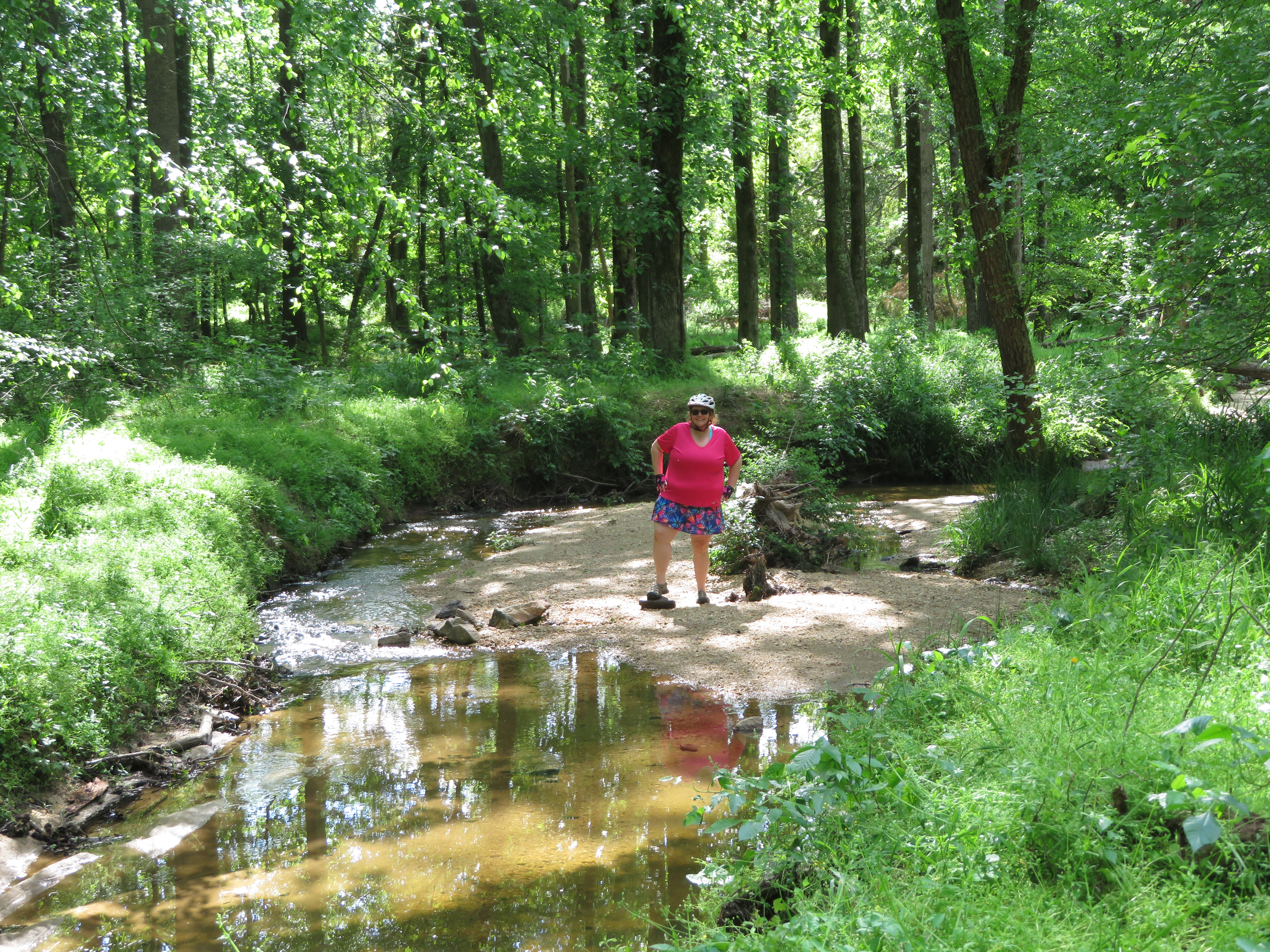
Aside from the American Tobacco Trail, the trail that our bike tires most frequently touch has to be the White Oak Creek Greenway. Last year, they built a two mile long segment connecting this greenway to the ATT just above the Wimberly Road Trail access. A lot of Cary greenways feel a little slap-dash. It's like they had an extra truckload of asphalt and decided, what the heck, let's just bulldoze a path next to this creek, pour the asphalt, and call it a day. Since the newest segment was going to border a housing development, we worried the trail would be a shoddy afterthought. Instead, the newest segment feels like it was designed by someone who actually loves both bikes and nature. While it does border the new neighborhood, most of the segment is on gently winding boardwalks that snake through the trees. It's built to compliment the wetland forest it travels through, instead of just bulldozing and paving a gash through nature. If we had to judge a greenway simply on its best two miles, this greenway might be the best place to bike in the Triangle.

This section takes you to an underpass under Green Level Church Road. There's a blind curve here, so watch out for bikers flying down from the other direction. But, as you bike up the boardwalk on the other side, you arrive at the amazing White Oak Greenway Wetlands. This is a quarter mile or so of very wide boardwalk through a swamp full of cattails, skeletal trees, and beaver dams. The wetland changes with the seasons, but depending on the weather you'll find herons here, the occasional egret, red-headed woodpeckers, ducks, geese, and more than a few buzzards. Most of the logs will be full of turtles sunning themselves. Dragonflies flit about everywhere, but curiously we've never encountered mosquitos. There's a beaver lodge easily visible on the south side of the swamp, and another on the north side that's normally hidden by cattails most of the year. And, yes, there are beavers. They are nocturnal, so your odds of seeing one are low, but we have photographic evidence from a previous ride that they do go out of the occasional daytime snack. This is a rewarding area to spend time with binoculars, or a camera with a good zoom lens.


Just past the swamp, the WOCG intersects the Batchelor Branch Greenway, which looks like a typo, but that's really how it's spelled. This is a short greenway, less than half a mile and it just dead ends on a road where there's no parking lot. But, despite it being a trail to nowhere, we usually ride it because it's flat, uncrowded, and since its adjacent to the swamp we often encounter wildlife, like turtles, snakes, and rabbits.
Returning to the WOCG and continuing east, there's about two more miles of pleasant greenway before you reach Hwy 55. Between the swamp and the highway, the greenway is hilly, though not challenging. There's another big wetland when you cross beneath the Triangle Expressway where we frequently spot herons, but given that the main feature here is a large highway overpass, it's not the best place to stop and appreciate the natural world.

As you near 55, the eponymous creek is going to be very close to the bike path, and will remain so for the next few miles. A bit too close, in fact. The tunnel under 55 floods several times a year, and especially in the spring can be slick with mud. Past 55 to Davis Drive, the greenway continues with the "let's just pour asphalt next to the creek" aesthetic. It's narrow and winding, often covered in sandy and muddy patches from creek flooding, and just before most road crossings there are abrupt, steep hills up to the road. The best feature of this segment is White Oak Park, which is a full-featured park with bathrooms, a shelter, etc., something the newer segments currently lack. And, only a few miles past this park is an even nicer one, Davis Drive Park. Unfortunately, unless you've studied Google Maps in advance, you might not even know the greenway continues on past David Drive due to lack of signage. Turn right when you reach David Drive and bike along the broad sidewalk. Cross the road at the first stoplight to enter Davis Drive Park.
The newest segment of the White Oak Greenway can be found here. The greenway goes down a very steep hill to a tunnel beneath railroad tracks, then goes through a neighborhood on a long boardwalk to McArthur Drive. Once you cross McArthur Drive, you'll be back on an old section of greenway. There's a narrow tunnel under Cary Parkway that ends with a 90 degree turn to go back up to road level. We've been lucky enough not to encounter any oncoming bikes in this blind spot, but it's a good example of bad design, where very little thought was given to making things safe or easy for bikers. In another mile or so, the Greenway finally reaches Bond Park. There's a big hub here where it links up with the Black Creek Greenway, which takes you to Umstead State Park, which you can bike through to Raleigh. Now that the tunnel past Davis Drive Park is complete, you can bike over sixty miles all the way from downtown Durham to the edge of Clayton on connecting greenways with only two small segments on roads.


On average, the White Oak Creek Greenway is a pretty nice greenway. The eastern end is old and poorly designed, but does connect with three nice parks with good facilities. The western end is more thoughtfully designed, but there's not a water fountain or bathroom anywhere near the trail. The other thing lacking on most of the greenway is signage. There are no mile markers, and no signs telling you that Bond Park is x number of miles away, or, going the other way, that you're only x number of miles to the American Tobacco Trail. You won't find maps along the route either. As for the total distance, our best guess is 10 miles end to end. We've never actually biked it end to end on a single trip without detouring off to explore some of the small greenway spurs that connect with it, or without continuing on for at least a little bit of a ride on the ATT or Black Creek Greenway.
If you don't feel like exploring the whole length, it's definitely worth taking on the the two mile detour out to the White Oak Greenway Wetlands when you're riding on the American Tobacco Trail. The ten minutes you'll spent gliding through the forest makes you realize the potential of a really well-designed greenway. And we shouldn't pick on Cary's older greenways too much. They aren't radically worse than older greenways in Raleigh or Durham, and the newer segments shows that they are learning how to build truly wonderful outdoor experiences. I look forward to seeing what they'll build next!


