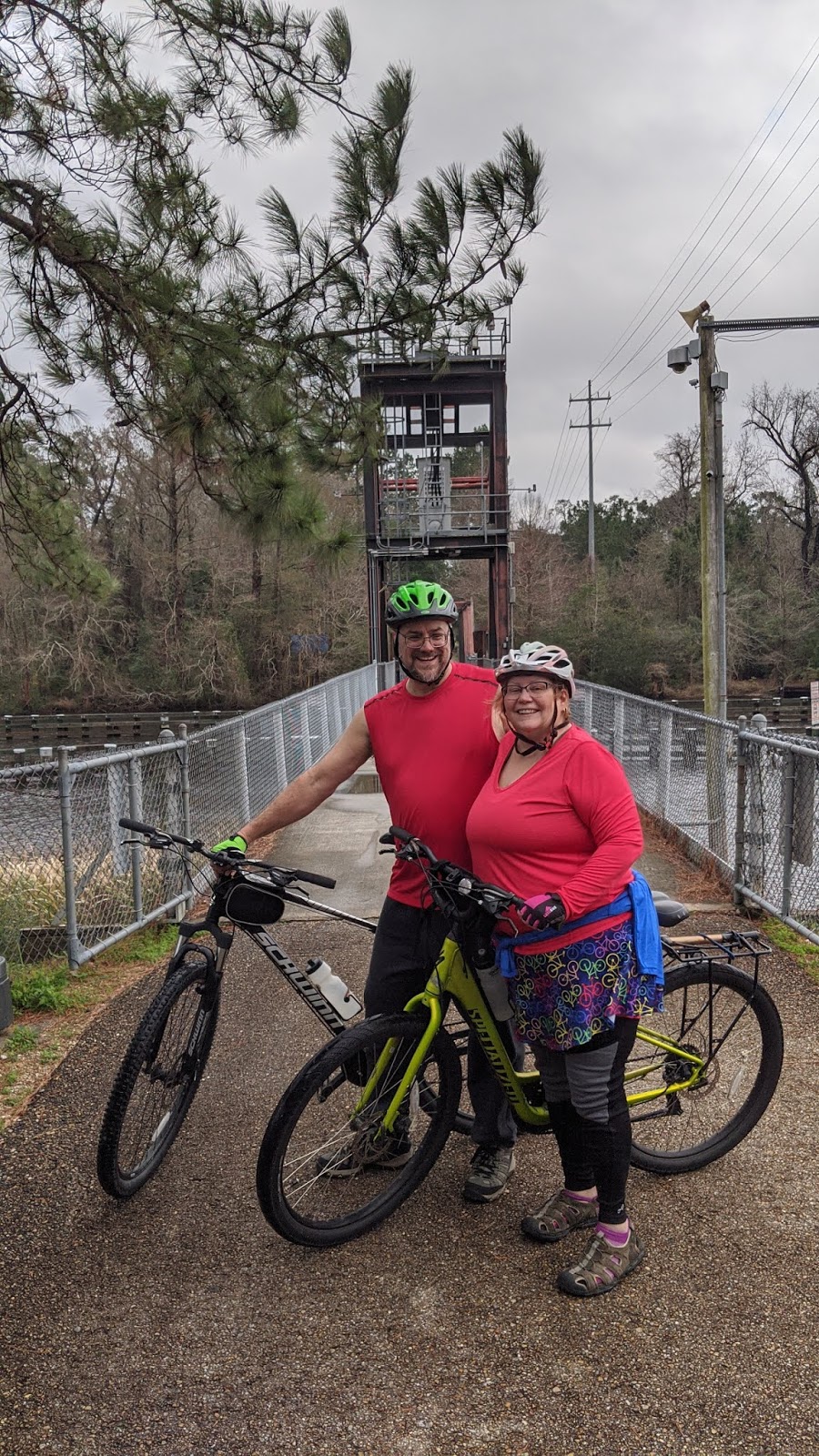
Saturday, February 22, 2020

Hiking at Brumley North

  • Dates we visited: Various dates in January & February
  • Posted length: Multiple trail options, 2.9 miles total
  • Total miles tracked: Varied, see below
  • Type of Trail: Dirt hiking trail
  • Conveniences:  Parking
  • Best Features:  Well-marked trails, varied terrain in a small area
  • Worst Features: No bathrooms or water
  • Wildlife spotted: Ducks, rabbits, and occasionally deer
  • Vegetation: Daffodils, hardwoods, pines, cedars 
  • Associated Website:
  • Primary Author: James

Most of these blog posts try to capture a single visit, but Brumley North is worth a mention because it's a site we go to repeatedly to get in short hikes after Cheryl gets off from work. In January and early February, when the sun sets before 6, Brumley North is a convenient destination to get to a little after 5:00 and still work in a hike of a mile or two.

Note that there are two Brumley Forest Nature preserve parking lots. Brumley North is the one off Highway 10. The parking lot isn't gated, so even though the preserve closes at sunset, you don't have to deal with the paranoia about getting locked in if your hike runs a little long. Which is great, since Brumley has a couple of good places to watch sunsets.


There's a site map at the parking lot showing the various trails. Most are under a mile but can be linked together. Nearly every trail makes a loop that intersects with other loops. It's easy to adjust the length of your hike as needed, adding on another mile or half mile if you've got the daylight. The trails are plainly marked. Some follow old farm roads, while others just meander through the trees.


Brumley used to be a working farm, and there's evidence of its previous life scattered throughout the preserve. February is a prime time for daffodils that mark the sites of now vanished structures. When Cheryl and I spot them blooming in the woods, we know that if we start poking around we'll find rock foundations or maybe the remnants of a tin roof. 


For a fairly small hiking area, Brumley North has a nice variety of scenery. There are open, grassy fields, creeks and ponds, forests, wetlands, and some of the trails take you along side an active railroad line. You can hike here three times in a week and get a different experience each time. You should definitely check it out if you're in the area! 


#hillsborough
#hiking
#Brumley
#trianglelandconservancy 

Thursday, February 20, 2020

Hiking at Ayr Mount

  • Date we visited: 1/26/2020
  • Posted length: 1 mile
  • Total miles Walked: 1.45 miles
  • Type of Trail:  Walking path/crush
  • Conveniences:  Parking
  • Best Features:  River views, sweeping landscapes, benches, history
  • Worst Features:  gates close early, no bathrooms
  • Wildlife spotted:  None at this visit.
  • Vegetation:  Fern, crocus, daffodils, pine, cedar, native hardwoods
  • Associated Website: https://classicalamericanhomes.org/ayr-mount/


On a sunny Sunday afternoon we went to Ayr Mount and walked the Poet’s walk, a 1 mile loop around the property. While tours of the house are only offered certian times throughout the year, the grounds are available for anyone to enjoy without an entry fee. The Poet’s walk is one of Hillsborough's hidden gems.

The parking lot is generous and there were many people out walking the grounds. We headed to the right of the house past the private cemetery. There's a small seating area and picnic tables for folks to enjoy the grounds, then the trail drops down, heading towards the river. Just before you enter the woods, you have the option to cut over towards the pond


The trail is lined with fences made from fallen branches.


While many people utilize the poet’s walk for exercise, there are numerous places to sit and contemplate your surroundings.


You can look across the river and see one of the trails at the Historic Occoneechee Speedway.  There are plans to connect the two properties in the future as well.

Along the path there were ferns, squill and crocus popping out of the ground.  Daffodils, scammed by the unseasonably warm January, were also beginning to sprout.


As you leave the river and exit the woods, the pond comes into view.


During the hot summer months, they place a cooler of water for those on the Poet’s walk.

As we looped back to the house, you can see the depression from the old trading path, and a Little Free Library.  If only we had some books to add!


The Poet’s Walk at Ayr Mount is the perfect length for a quick walk.  But don’t forget to take in the serenity and the beauty that this property has.  Take a moment and sit on one of the benches and listen to the Eno bubble by, or the wind slip though the willows.


#hillsborough
#arymount
#poetswalk
#walking

Tuesday, February 4, 2020

High Point Greenway

  • Date we visited: January 12, 2020
  • Posted length:  4.45 miles
  • Tracked 8.13 miles (Cheryl) 9.74 (James) (out and back ride)
  • Type of Trail: Paved greenway
  • Conveniences: In theory, bathroom and water at Piedmont Environmental Center. Parking lot was too full to park there the day we visited.
  • Best Features: Great elevated boardwalk above wetlands
  • Worst Features: The middle three miles are poorly maintained, lots of litter, a few busy road crossings with no crossing lights, not always well marked at turns. Also, Cheryl was attacked by a dog. This may not technically be a trail feature, but it's worth mentioning.
  • Primary author: Cheryl

On a warm Sunday afternoon in January, we decided to return to the High Point Greenway for a short bike ride.  We were meeting a friend for dinner in Greensboro, so it was the perfect opportunity to complete the greenway that we had ridden back on Thanksgiving day and couldn’t finish due to time constraints.   

We weren’t the only ones trying to take advantage of a 70 degree afternoon.  We first tried to park at the Piedmont Environmental Center, but that lot was packed.  We then drove over to the parking lot at University Park on Deep River Road.  Wanting to make sure we were able to bike the section we had to skip the last time out, we headed away from the Environmental Center towards High Point University.  The best way to describe this greenway is that it has two fabulous ends that bookend a mediocre middle, and we rode the middle first.

Once it leaves Deep River Road, the trail follows a creek and a sewer line.  There are a couple of tunnels that run under busy roads.


The trail then turns behind a couple of schools. This section of the greenway is the oldest, and in the most need of some love and attention. It was in this section where things went haywire. Remember the mention of a dog attack? Three young women were walking two dogs in harnesses, but they were not able to control them. One of the dogs lurched at James, then at me, making contact. The impact knocked me off balance. I skidded across the asphalt, skinning up my leg. Because I was focused on my bloody knee and shin, it wasn’t until later that we realized that the dog had bitten me just below my hip. My clothes weren’t torn, but a bite mark became quite apparent as the bruising darkened. Since we hadn’t thought to request their shot information at the scene, I ended up having to go to the Emergency Department to get the rabies vaccine the next day.

Back to the ride! After my fall, we washed off my leg and kept on riding the trail.  Before long we were passing through High Point University and the trail becomes lovely and well maintained.


Armstrong Park at trail's end has lots of features, including bathrooms and picnic shelters, but we didn't spend time exploring it. Thinking we needed to get to some bandaids, we headed back toward the car to complete the section between University Park and the Piedmont Environmental Center.  

Boardwalks Galore!  This newer section is only 1.2 miles long, but a big chunk of that is a curvy elevated boardwalk through the trees that's spectacular.  


We probably wouldn't make a special trip just to ride this greenway again, but if life calls us back into the neighborhood, we'd certainly give it another shot. Just past the Piedmont Environmental Center, the High Point Greenway connects with the Bicentennial Greenway that takes you into Greensboro. It's not as bike friendly, though biking is allowed. We'll report on it one day as a walking trail.   Oh! And remember the long boardwalk through the trees? Here's a video of it, at double speed.


#highpointgreenway
#highpointuniversity
#Piedmontenvironmentalcenter
#biking


Friday, January 24, 2020

Hiking: H.O.S.T. - HIstoric Occaneechee Speedway Trail, Hillsborough, North Carolina


Cheryl on the path to the Speedway Trace, with Prisma filter

  • Dates we visited: January 11, 2020
  • Total miles walked: 1.8
  • Type of trail: Foot trail, compacted gravel
  • Conveniences: Parking lot. 
  • Best features of trail: Not crowded, nicely maintained, historic site. It also connects to the MST and the Hillsborough Riverwalk, so it's a good base for a longer walk or run. 
  • Worst features of trail: No bathrooms or water fountains. There's a fine line between historic relics and junk that's been rusting for fifty years. You'll either find some of the rusting cars on display beside the track charming or eyesores. 
  • Wildlife spotted: None on this trip, but deer and owls are pretty common
  • Vegetation: Mostly pine and cedar 


The  year I was born racecars were still zooming around the dirt track at Occaneechee Speedway in Hillsborough, North Carolina.  A stretch of ground over half a mile long was utterly devoid of trees, devoted entirely to the celebration of fast cars careening as fast as they could go around a big oval track. 

Today, the Speedway looks like this: 


They stopped running races in 1968 and the land returned to nature. Today, a trust manages the land and preserves the historic site. Walking from the parking lot down to the track and once around isn't a very long walk. Depending on meanderings and detours, you might get two miles out of the walk. Take every side trail that stays inside the site and you might get three miles. However, part of the Mountain to Sea Trail passes through this area, and you can connect to it for much longer walks or hikes. 
MST blaze

The nice thing about the HOST, for us, is that it's a hometown trail. It's easy to get to, never crowded, and a flat, well-maintained surface. Back when we ran, it was the perfect place to train for 5ks. One drawback for us that's probably a bonus for runners is that bikes are prohibited, so unlike some greenways  you really don't need to be looking over your shoulder if you're a runner. 


We kind of take it for granted since we've walked it so often, but the HOST is a walk that invites introspection. Seeing how much nature has reclaimed a formerly barren area within a span shorter than my lifetime cheers me up as I contemplate the resilience of nature. Conversely, it humbles me, as I realize how quickly nature can erase traces of civilization. Of course, not everything has vanished. The stands where fans watched the races are rather sturdy ruins. When I first moved to Hillsborough, they were covered in vines and brush, but even cleared out they look ancient. 


Cheryl and I walked this on a rather damp day in January. We didn't see any wildlife, but it's not rare to come here and spot deer and other wildlife. We've seen owls here many times. There are wildflowers through most of the warmer months. One nice thing about walking in winter is the undergrowth has died off, so you get a nice view into the thick stands of pines and cedars. Lichens and moss are abundant. It's easy to feel as if your walking through some fairytale forest instead of among the decayed remains of a previous era. 


There are several other great walking destinations in Hillsborough, but if you visit and only have time for one, the HOST is the easy choice. Maybe we'll see you there! 

Tuesday, January 14, 2020

Biking the Tammany Trace Trail, Louisiana

Bayou Lacombe Bridge, photo taken by a Tammany Trace Trail ranger

  • Dates we visited: January 1 & 2, 2020
  • Total miles biked: 61
  • Type of trail: Rail trail, paved
  • Conveniences: Bathrooms, water fountains, parking, stores & restaurants right off trail
  • Best features of trail: Good trailheads, great trail towns, trail in good repair, patrolled by rangers, very long, very flat, very straight
  • Worst features of trail: Very long, very flat, very straight, minimal signage with few mile markers, some busy road crossing with no signal lights
  • Wildlife spotted: Herons, egrets, deer, turtles. Not spotted but heard continuously, chirping frogs
  • Vegetation: Mostly pine, but plenty of wild flowers and lots of swamp land with vines and lily pads.

We kicked off our year with a trip to New Orleans to sell our books and crafts at Wizard World Comicon. We were excited to see a long rail trail just north of the city on the other side of Lake Pontchartrain, running from the town of Covington to Slidell, Louisiana, just shy of 30 miles long. We arrived on a New Years Day in the afternoon, checked in to our hotel, and immediately drove to the Covington Trail Head.


Covington was quite charming, with a blue grass band playing at a gazebo at the trailhead, but we couldn't linger. Making use of a few final hours of daylight and with storms heading our way, we set off hoping to make the next town over, Abita Springs.


Abita Springs has really embraced the trail. They have a big gazebo, playground, restaurants, and a museum right beside the trail. There are a few big road crossings, but the locals stopped when they saw us rather than blowing by. We biked a few more miles, but, with darkness coming on, had to turn back around mile six. 

That night we ate at The Chimes Restaurant in Covington. We were nervous about a wait when we saw all the cars in the parking lot, but the place is huge and we were seated instantly. Food, beer, and service were great. Behind the restaurant there's a boardwalk down to the river. There are kayaks and paddleboards for rent, but it was a bit cold and too dark to inquire about these. The Spanish moss in the trees by the river give the place a wild and swampy feel. 


The next day, rain and thunderstorms were forecast all day. Looking at radar, we were right on the edge of a huge cell stretching all the way to Texas. But, we had raincoats and this was our one shot at this trail, so we bundled up and headed out anyway. 

This time we used the trailhead in Mandeville. It's a converted train station, plenty of parking, and in the summer there's a splash pad. There are restaurants next to the trailhead, including Old Rail Brewing that had a bike rack fashioned from old rails and spikes.  


With the forecast looking like the storm would stay a few miles north for at least an hour, we set off for Slidell. This section of the trail is the flattest, straightest trail we've ever encountered. It's pretty much just a direct line to Slidell. It runs through Fountainebleau State Park and is mostly lined with tall pines. This can make the ride a little monotonous, but it's broken up with patches of bayou and the occasional live oak draped with Spanish moss. 

Amazing vanishing point!


Lacombe Bayou from the drawbridge


Our luck continued to hold. The rain stayed just out of range, and by Slidell we had to shed our rain coats. Relative humidity was pretty close to 100%. Temps were in the high 60s by this time, but it felt like it was in the 80s. Fortunately, Slidell has another nice trailhead and there's a convenience store right next to it where we could get ice for our water bottles. 

We headed back to Mandeville, had lunch at Old Rail, then headed north back toward Abita Springs. We stopped at a park centered around an old caboose, yet another great trailhead with water, bathrooms, and parking. 

One of the few trail logos not completely sun bleached. 

Once we reached the point we'd biked to the night before, we turned back. The area where we turned back contained the trail's worst stretch, the crossing at highway 59. This is in a blind curve with no crossing light and cars whizzing past. Fortunately, there are signs up indicating that a tunnel will be built under this road later this year, which will leave this very close to a perfect trail. 

But wait! There's more! Back in Mandeville, we headed off trail and biked the half mile or so to the waterfront of Lake Pontchartrain. The mile long park there had bike paths and numerous giant live oaks. The weather was turning ominous, or we might have visited one of the lakeside restaurants and had a drink as we watched the sunset over the lake. Plus, at this point, after biking close to 50 miles in steamy conditions we were a mess. So, we loaded up our bikes, headed back to our hotel to clean up, then went back to Abita Springs to eat at Abita Brewing, which is also right beside the trail. Seriously, if you like both beer and bikes, the Tammany Trace Trail gives you a lot of a options.


Cheryl's Final Thoughts about the Trail

I loved the charming towns and friendly people we encountered. The one improvement they need is updated signage. There are no mile markers, and while there are numerous maps along the trail that show you distances between trail heads and roads, they are almost all washed out and faded to illegibility. We kept trying to photograph the trail logo, but the only non-faded one we encountered was at the trailhead with the caboose. 


James' Final Thoughts About the Trail 

We bike a lot of trails and were really impressed with how the towns this trail runs through have embraced it and cater to people wanting to ride it. We are already planning a return trip and keeping our fingers crossed for better weather. Winter is probably the best season to make this ride. Given how steamy it was in January, I can only imagine what it would be like to try to tackle this trail in August.