 |
| Bayou Lacombe Bridge, photo taken by a Tammany Trace Trail ranger |
- Dates we visited: January 1 & 2, 2020
- Total miles biked: 61
- Type of trail: Rail trail, paved
- Conveniences: Bathrooms, water fountains, parking, stores & restaurants right off trail
- Best features of trail: Good trailheads, great trail towns, trail in good repair, patrolled by rangers, very long, very flat, very straight
- Worst features of trail: Very long, very flat, very straight, minimal signage with few mile markers, some busy road crossing with no signal lights
- Wildlife spotted: Herons, egrets, deer, turtles. Not spotted but heard continuously, chirping frogs
- Vegetation: Mostly pine, but plenty of wild flowers and lots of swamp land with vines and lily pads.
We kicked off our year with a trip to New Orleans to sell our books and crafts at Wizard World Comicon. We were excited to see a long rail trail just north of the city on the other side of Lake Pontchartrain, running from the town of Covington to Slidell, Louisiana, just shy of 30 miles long. We arrived on a New Years Day in the afternoon, checked in to our hotel, and immediately drove to the Covington Trail Head.


Abita Springs has really embraced the trail. They have a big gazebo, playground, restaurants, and a museum right beside the trail. There are a few big road crossings, but the locals stopped when they saw us rather than blowing by. We biked a few more miles, but, with darkness coming on, had to turn back around mile six.
That night we ate at The Chimes Restaurant in Covington. We were nervous about a wait when we saw all the cars in the parking lot, but the place is huge and we were seated instantly. Food, beer, and service were great. Behind the restaurant there's a boardwalk down to the river. There are kayaks and paddleboards for rent, but it was a bit cold and too dark to inquire about these. The Spanish moss in the trees by the river give the place a wild and swampy feel.

The next day, rain and thunderstorms were forecast all day. Looking at radar, we were right on the edge of a huge cell stretching all the way to Texas. But, we had raincoats and this was our one shot at this trail, so we bundled up and headed out anyway.
This time we used the trailhead in Mandeville. It's a converted train station, plenty of parking, and in the summer there's a splash pad. There are restaurants next to the trailhead, including Old Rail Brewing that had a bike rack fashioned from old rails and spikes.


With the forecast looking like the storm would stay a few miles north for at least an hour, we set off for Slidell. This section of the trail is the flattest, straightest trail we've ever encountered. It's pretty much just a direct line to Slidell. It runs through Fountainebleau State Park and is mostly lined with tall pines. This can make the ride a little monotonous, but it's broken up with patches of bayou and the occasional live oak draped with Spanish moss.
 |
| Amazing vanishing point! |

 |
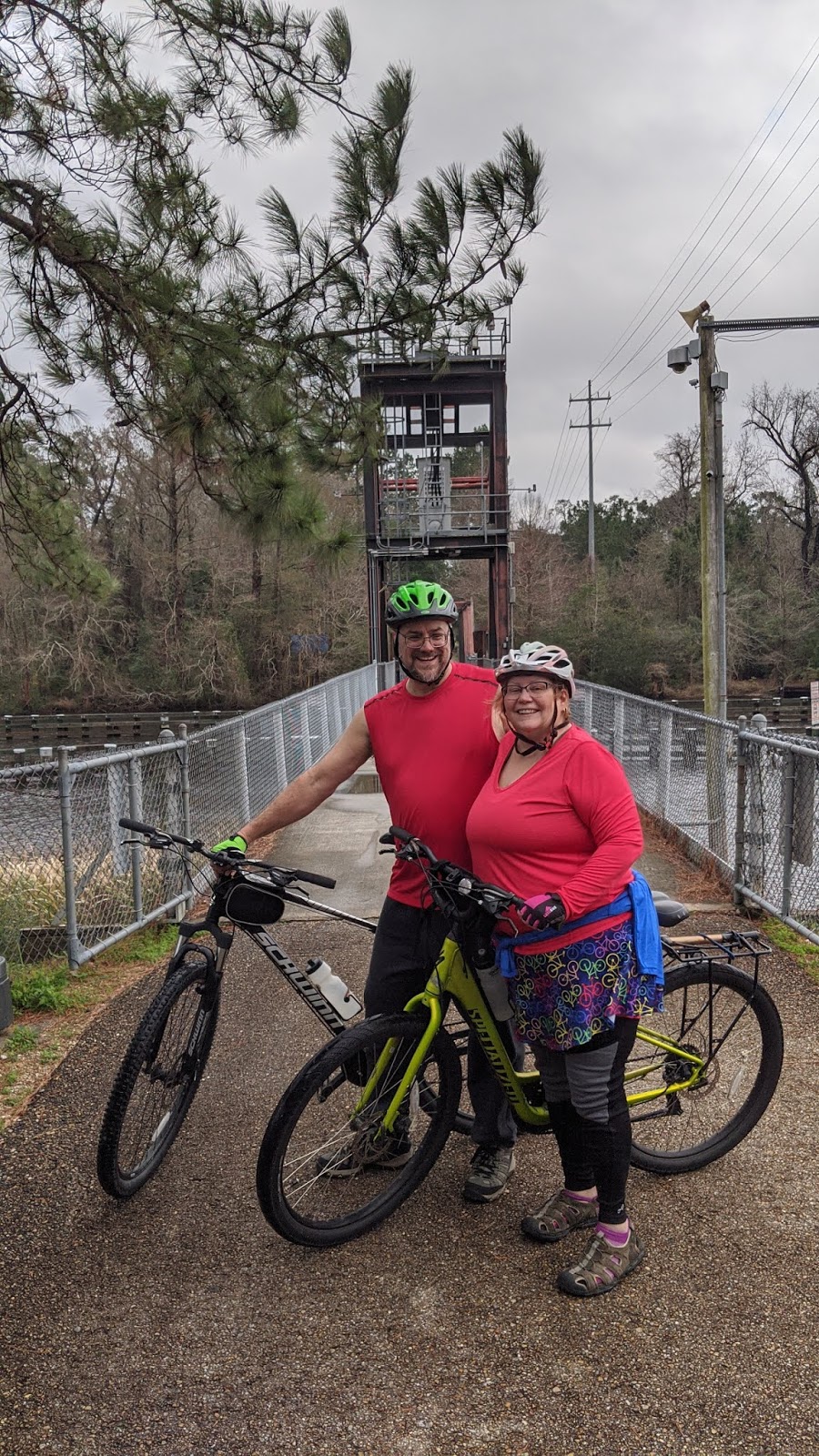
| Lacombe Bayou from the drawbridge |


Our luck continued to hold. The rain stayed just out of range, and by Slidell we had to shed our rain coats. Relative humidity was pretty close to 100%. Temps were in the high 60s by this time, but it felt like it was in the 80s. Fortunately, Slidell has another nice trailhead and there's a convenience store right next to it where we could get ice for our water bottles.
We headed back to Mandeville, had lunch at Old Rail, then headed north back toward Abita Springs. We stopped at a park centered around an old caboose, yet another great trailhead with water, bathrooms, and parking.
 |
| One of the few trail logos not completely sun bleached. |
Once we reached the point we'd biked to the night before, we turned back. The area where we turned back contained the trail's worst stretch, the crossing at highway 59. This is in a blind curve with no crossing light and cars whizzing past. Fortunately, there are signs up indicating that a tunnel will be built under this road later this year, which will leave this very close to a perfect trail.
But wait! There's more! Back in Mandeville, we headed off trail and biked the half mile or so to the waterfront of Lake Pontchartrain. The mile long park there had bike paths and numerous giant live oaks. The weather was turning ominous, or we might have visited one of the lakeside restaurants and had a drink as we watched the sunset over the lake. Plus, at this point, after biking close to 50 miles in steamy conditions we were a mess. So, we loaded up our bikes, headed back to our hotel to clean up, then went back to Abita Springs to eat at Abita Brewing, which is also right beside the trail. Seriously, if you like both beer and bikes, the Tammany Trace Trail gives you a lot of a options.


Cheryl's Final Thoughts about the Trail
I loved the charming towns and friendly people we encountered. The one improvement they need is updated signage. There are no mile markers, and while there are numerous maps along the trail that show you distances between trail heads and roads, they are almost all washed out and faded to illegibility. We kept trying to photograph the trail logo, but the only non-faded one we encountered was at the trailhead with the caboose.


James' Final Thoughts About the Trail
We bike a lot of trails and were really impressed with how the towns this trail runs through have embraced it and cater to people wanting to ride it. We are already planning a return trip and keeping our fingers crossed for better weather. Winter is probably the best season to make this ride. Given how steamy it was in January, I can only imagine what it would be like to try to tackle this trail in August.
No comments:
Post a Comment