Date Biked: September 5, 2020 (plus some photos from July 3)
- Total miles Tracked: 61.56 miles
- Type of Trail: Rail trail, gravel surface
- Conveniences: Parking, picnic tables, bathrooms, two staffed visitor centers
- Best Features: Mile after mile of rural beauty with plenty of access points and facilities.
- Worst Features: Very rough surface in spots, muddy in others. Also, you'll be dodging quite a bit of manure.
- Wildlife spotted: Racoon, deer, herons, rabbits. Not wildlife, but you'll also see horses and cows.
- Vegetation: Mountain laurel, rhododendron, assorted hardwoods, various wildflowers
- Associated Website:https://www.dcr.virginia.gov/state-parks/new-river-trail
- Primary Author: James
Virginia's longest rail trail is the New River Trail State Park. It stretches from Galax, Virginia to Pulaski, with a spur to the small town of Fries. Officially, the trail is 54 miles, but if you want to ride the whole thing in one day, you should count the spur to Fries twice, meaning you'll be biking just shy of 62 miles.
Biking the whole distance in a single day is a challenge! The trail surface is quite variable. Starting out of Galax, the gravel is so smooth and even it almost feels like you're riding on pavement. But, there are other sections where you're just riding on parallel muddy ruts through fields, and plenty of rough and rocky sections that will put the shock absorption on your mountain bike to the test. We wouldn't recommend a road bike on most of the trail.
That said, if you can put up with the jostling, the good news is that, if you start in Galax, you'll be riding on a mostly downhill grade for close to 40 miles. It's only after you cross the Hiwassee bridge about ten miles before you reach Pulaski that you encounter a sustained uphill grade. Cheryl and I rode up this mountain several years ago when we were still fairly new to biking and thought we'd never make it to the top, but on this trip we flew along the uphill section without any difficulty.
All along the ride, you're reminded of the railroad history. Most of the bridges are built on old trestles, and there are two tunnels and several cuts where you ride along cliffs. There are old train stations along the way, with one just outside of Galax and another in Foster Falls that have been converted into visitor centers.
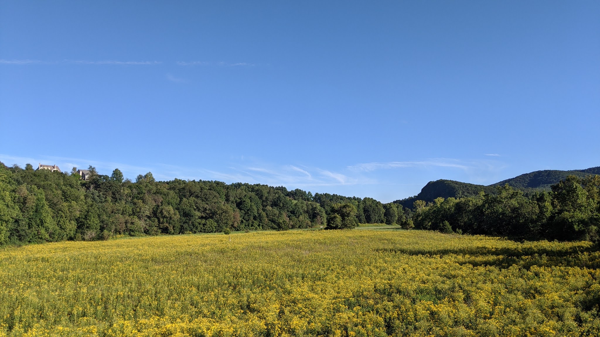
If you'd rather look at nature instead of the remains of a railroad, you're in luck! For most of the ride, you're seldom far from the New River. There are great views all along the way, and plenty of wildlife and wildflowers. Even though you're riding on a mostly flat railroad bed, mountains and cliffs rise up and fall away next to you all along the way. There are some farms, but mostly you pass through forest. Look for herons fishing in the rivers and deer grazing at the edges of open fields. We spotted a baby racoon on our ride, and there are signs all along the trail letting you know to be on the lookout for bears. So keep your eyes open!


One animal we've encountered every time we've ridden the trail has been horses. The remote, rural flavor of the trail makes horseback riding a popular activity, especially between Foster Falls and the spur to Fries. If you're biking the trail, take extra caution with the horses. Some are ridden by novice riders which can make the horses skittish around bikes. And, of course, if there are horse on the trail, there will be poop on the trail. It makes it a little tough to look at the gorgeous scenery when you have to keep your eyes fixed on the trail to avoid unpleasant splatters.
We definitely recommend taking the spur to Fries if you have time. First, this will give you great views of the river. Second, at the end of the trail you'll find The Café. We've eaten here a couple of times and the food and service are top notch.
Another notable spot along the trail is Shot Tower State Park just before you reach Foster Falls. We skipped it this time since it looked like there was a crowd heading up to it, but if you have time to climb to the top of it you'll be rewarded with an amazing view of the surrounding area.
Foster Falls is more or less the midpoint between Galax and Pulaski. In the old train station, you'll find bathrooms and a gift shop where you can grab a soda and some ice cream. Don't skimp on the calories, since you'll need for the rest of the ride. If you are riding the full length, by the time you ride past Foster Falls you'll likely be in the shade of the mountain by early afternoon. This part of the trail felt ten degrees cooler than the rest of the ride.
Eventually you reach the Hiwassee bridge, cross the New River, and start your climb toward Pulaski. The good news is, while it's a sustained grade, the surface really smooths out. There are also multiple amazing views of Claytor Lake (which is the New River, dammed). After you pass over I81, the remainder of the ride into Pulaski is all downhill, but watch out for gullies. Finally, there's a spur trail that takes you to downtown Pulaski, but we've never ridden it. If you recommend it, let us know in the comments!
One last note: Parking is $8 per car at most of the official trailheads. You can pay by smartphone, but given the spotty reception around some of the trailheads, it's probably easiest just to bring cash.